


CHUGWATER Voting District, Platte County, Wyoming
About
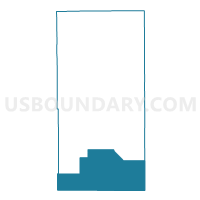
Outline

Summary
| Unique Area Identifier | 698836 |
| Name | CHUGWATER Voting District |
| County | Platte County |
| State | Wyoming |
| Area (square miles) | 361.15 |
| Land Area (square miles) | 361.05 |
| Water Area (square miles) | 0.10 |
| % of Land Area | 99.97 |
| % of Water Area | 0.03 |
| Latitude of the Internal Point | 41.75521520 |
| Longtitude of the Internal Point | -104.89485850 |
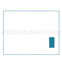
Maps

Graphs
Select a template below for downloading or customizing gragh for CHUGWATER Voting District, Platte County, Wyoming


Neighbors
Neighoring Voting District (by Name) Neighboring Voting District on the Map
- 11-4 Voting District, Albany County, WY
- IOWA CENTER Voting District, Goshen County, WY
- IRON MOUNTAIN COUNTRY CHURCH Voting District, Laramie County, WY
- LA GRANGE OUTSIDE Voting District, Goshen County, WY
- ROCKLAKE Voting District, Platte County, WY
- SHRINE CLUB Voting District, Laramie County, WY
- SLATER Voting District, Platte County, WY
Top 10 Neighboring County Subdivision (by Population) Neighboring County Subdivision on the Map
- Cheyenne East CCD, Laramie County, WY (8,642)
- Cheyenne West CCD, Laramie County, WY (7,254)
- Goshen Hole CCD, Goshen County, WY (1,420)
- Chugwater CCD, Platte County, WY (522)
- East Albany CCD, Albany County, WY (182)
Top 10 Neighboring Place (by Population) Neighboring Place on the Map
Top 10 Neighboring Unified School District (by Population) Neighboring Unified School District on the Map
- Laramie County School District 1, WY (86,198)
- Albany County School District 1, WY (36,299)
- Goshen County School District 1, WY (13,164)
- Platte County School District 1, WY (7,251)
Top 10 Neighboring State Legislative District Lower Chamber (by Population) Neighboring State Legislative District Lower Chamber on the Map
- State House District 7, WY (10,209)
- State House District 14, WY (9,049)
- State House District 3, WY (8,892)
- State House District 4, WY (8,539)
- State House District 5, WY (7,791)
Top 10 Neighboring State Legislative District Upper Chamber (by Population) Neighboring State Legislative District Upper Chamber on the Map
- State Senate District 4, WY (18,513)
- State Senate District 2, WY (18,410)
- State Senate District 10, WY (18,279)
- State Senate District 3, WY (16,330)
Top 10 Neighboring 111th Congressional District (by Population) Neighboring 111th Congressional District on the Map
Top 10 Neighboring Census Tract (by Population) Neighboring Census Tract on the Map
- Census Tract 9594, Platte County, WY (6,575)
- Census Tract 19.01, Laramie County, WY (4,891)
- Census Tract 19.02, Laramie County, WY (4,182)
- Census Tract 9580, Goshen County, WY (3,015)
- Census Tract 9639, Albany County, WY (2,141)